✦
AR guidance
Explore in AR.
ARKit fuses camera tracking with Core Motion, compass heading, and horizon data to place visible celestial targets in your real field of view.
OrbitLens
Find stars. Follow satellites. Explore the solar system. All from the place where you are.
OrbitLens is a spatial astronomy companion that connects your location, your device, and the moving sky.
AR guidance
ARKit fuses camera tracking with Core Motion, compass heading, and horizon data to place visible celestial targets in your real field of view.
3D rendering
SceneKit renders textured planetary models with interactive rotation, object metadata, and a sky-aware presentation.
Place intelligence
MapKit geocoding and saved observer coordinates give each pass, target, and observation plan a local context.
Every screen keeps the sky in focus, from the first launch through observation planning.
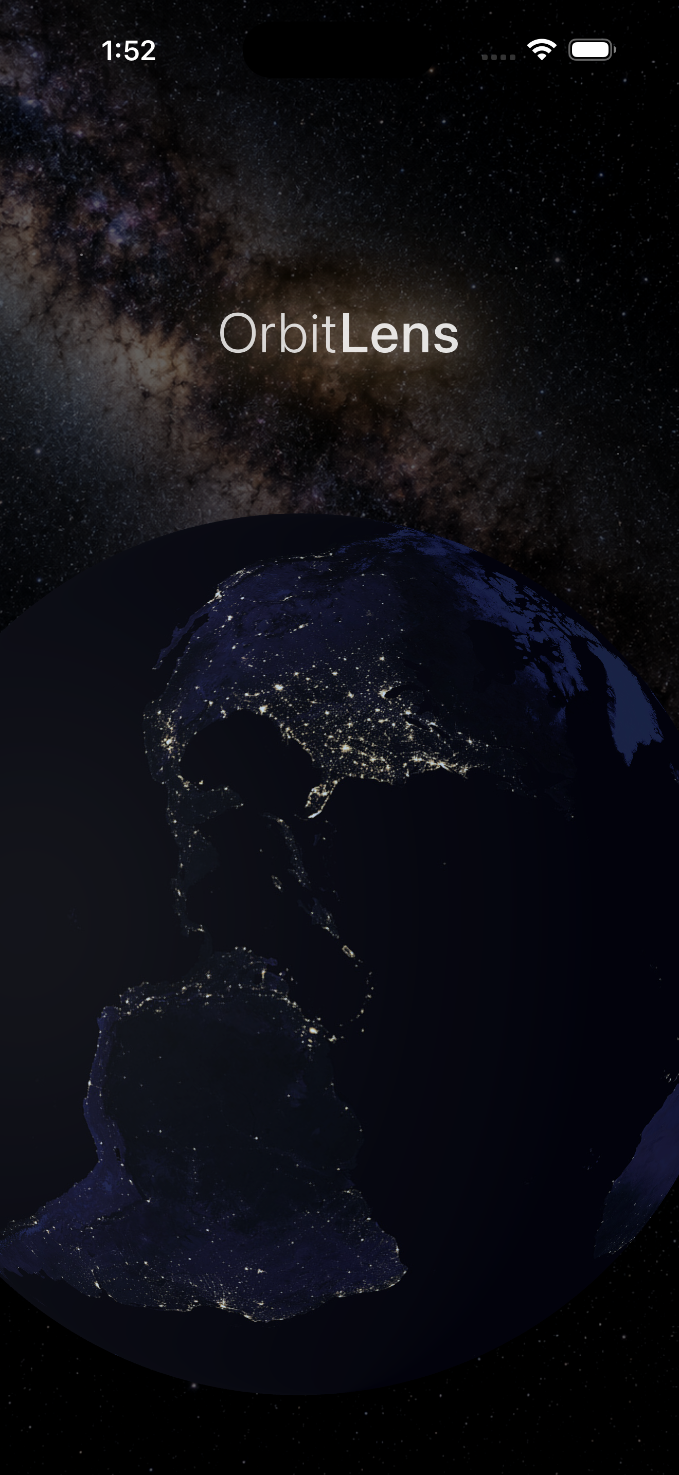
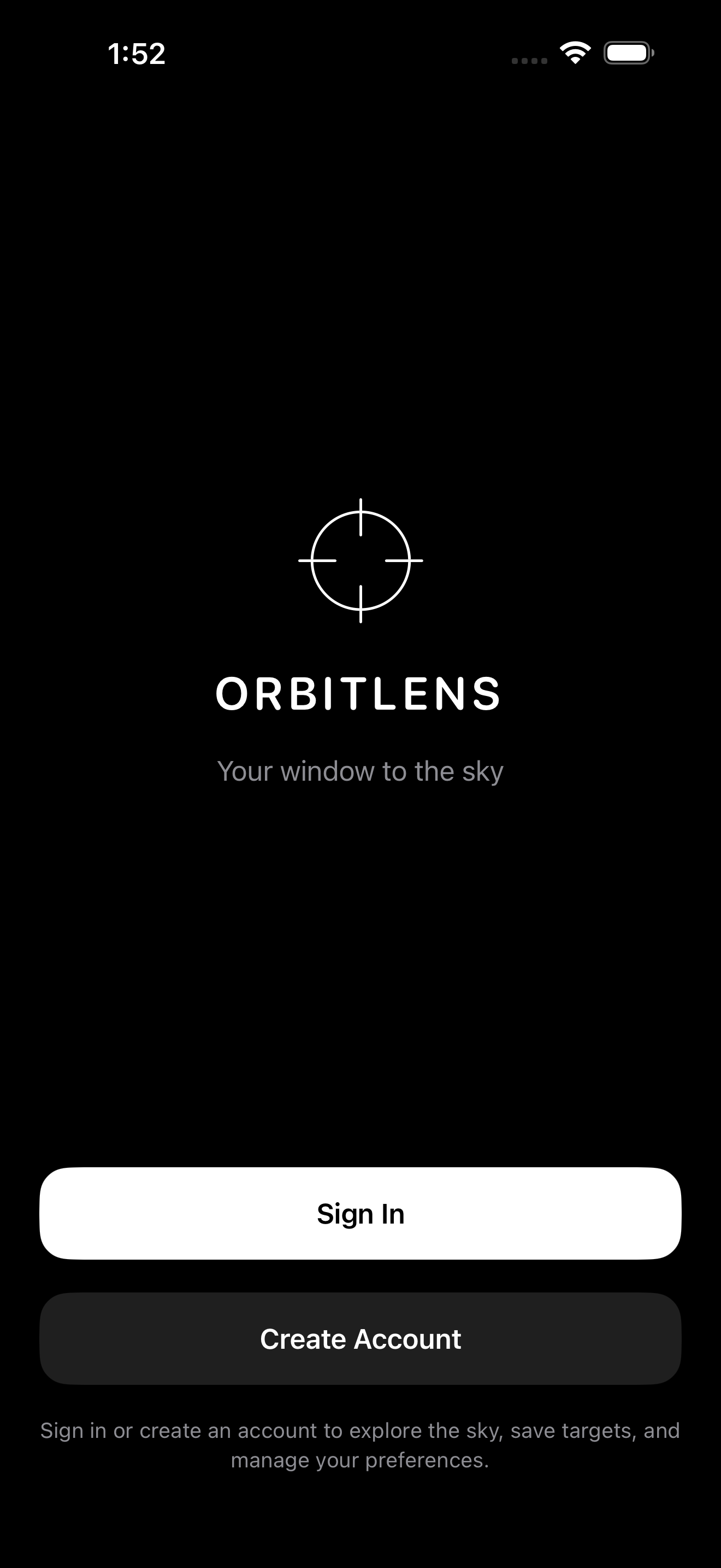
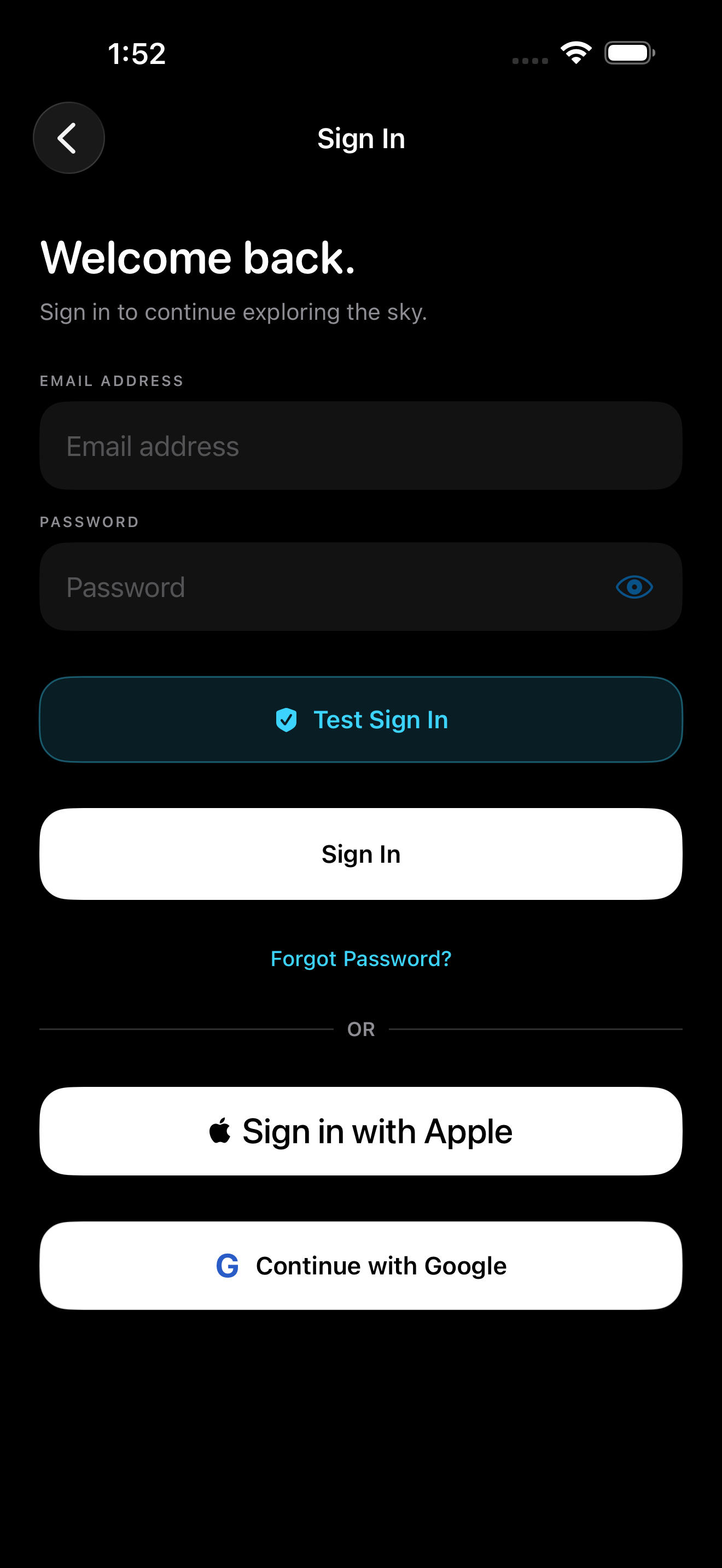
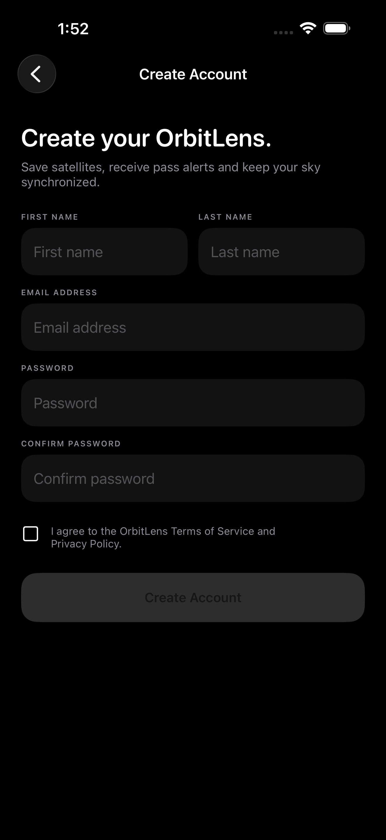
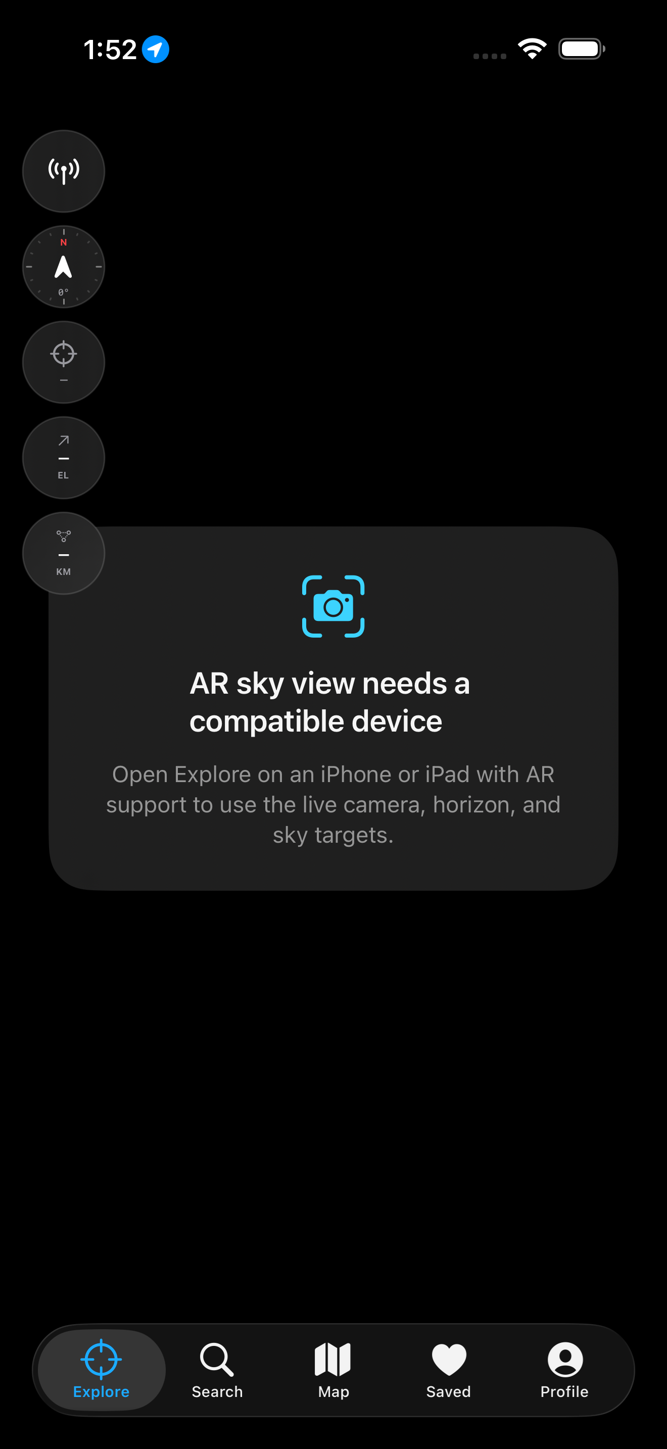
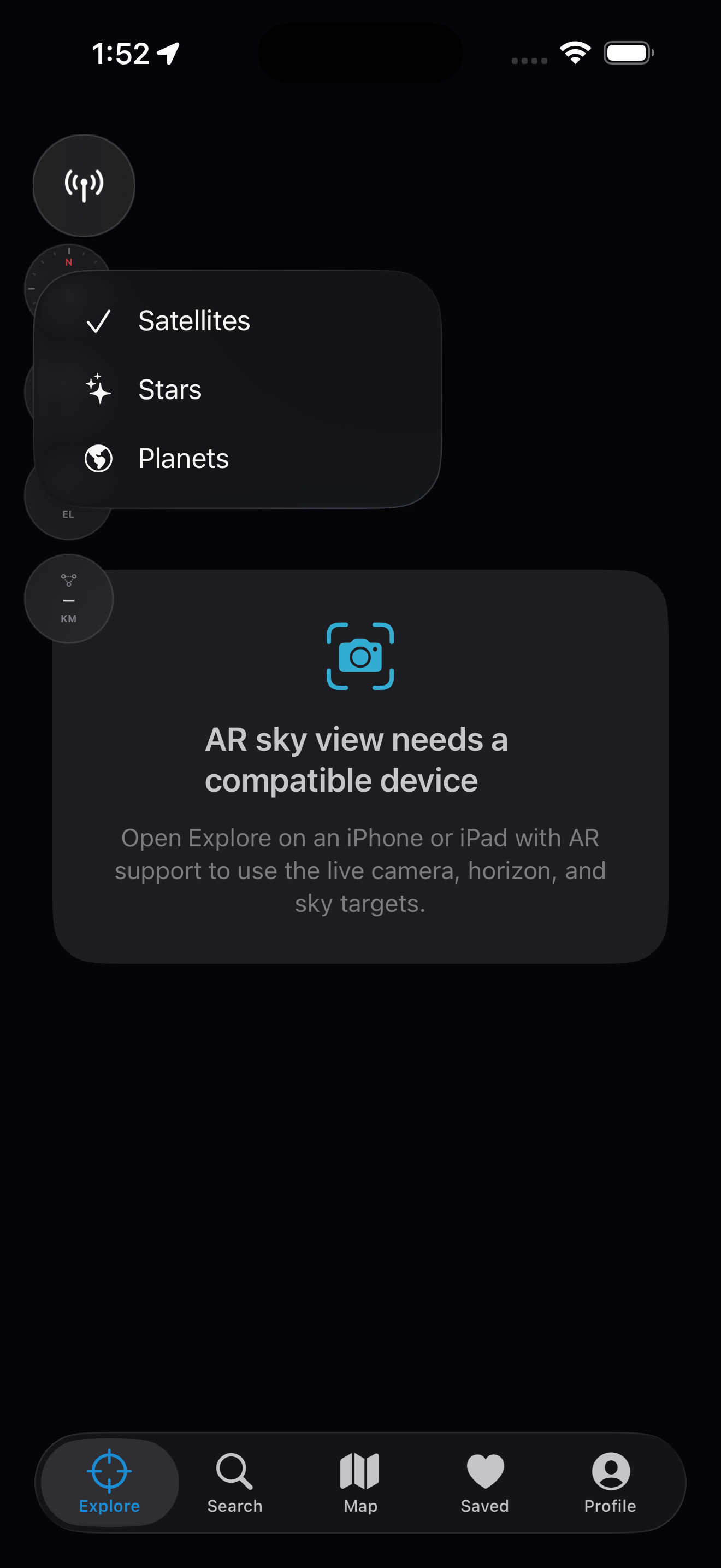
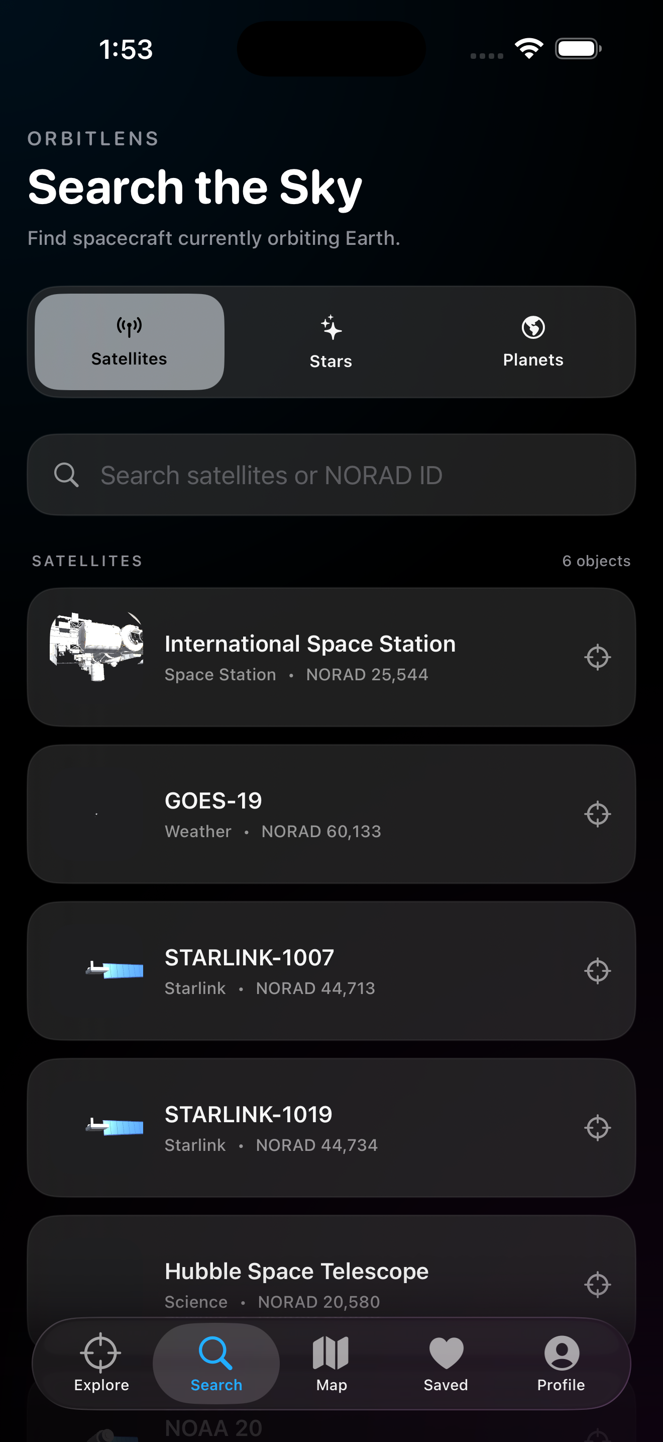
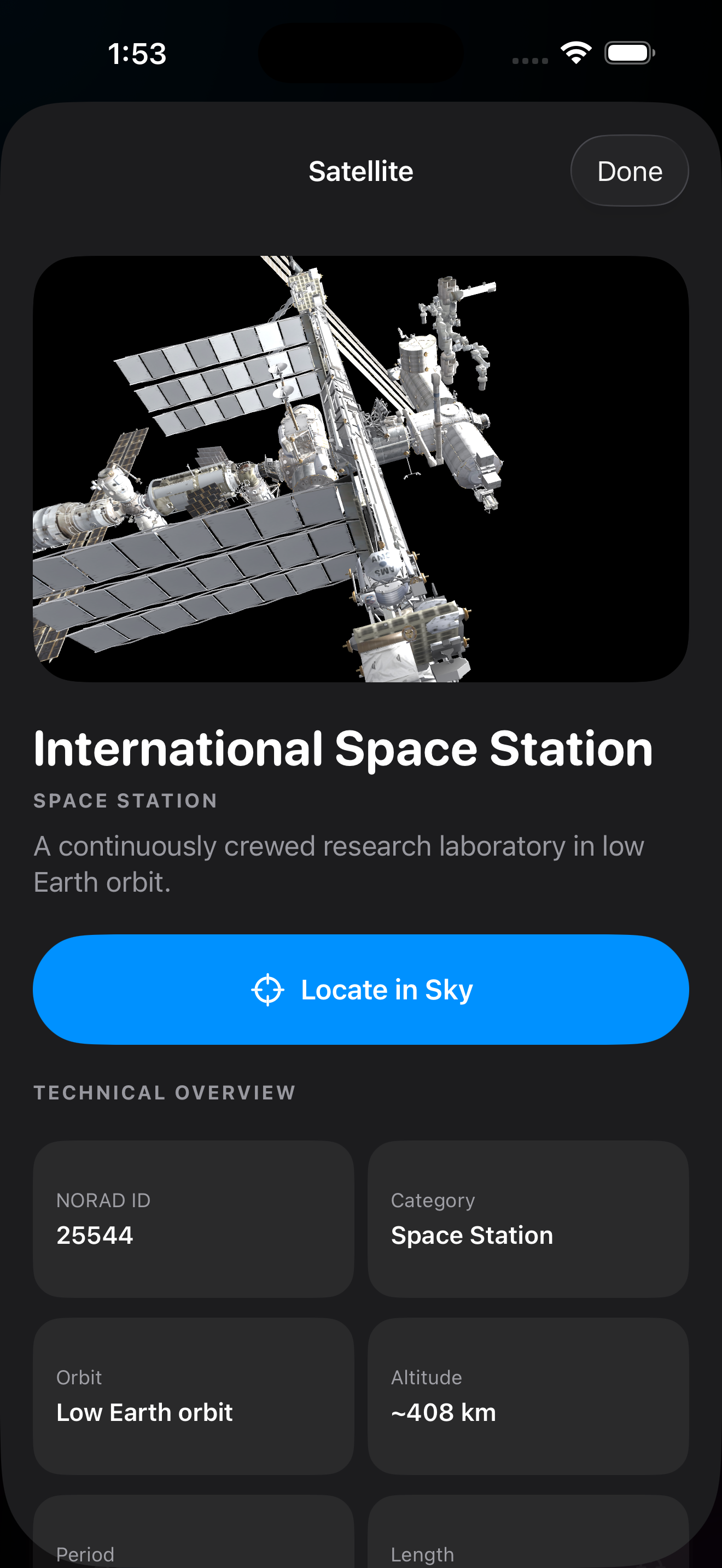
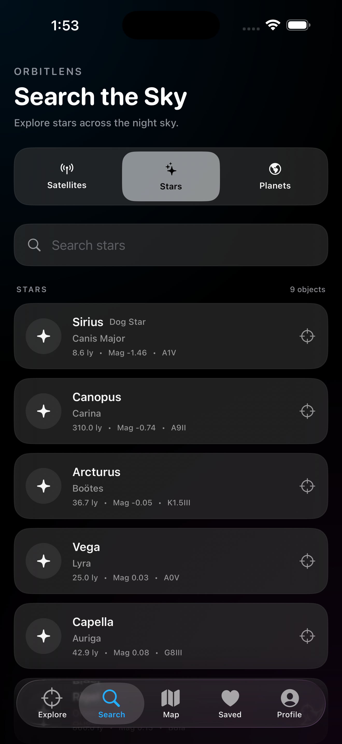
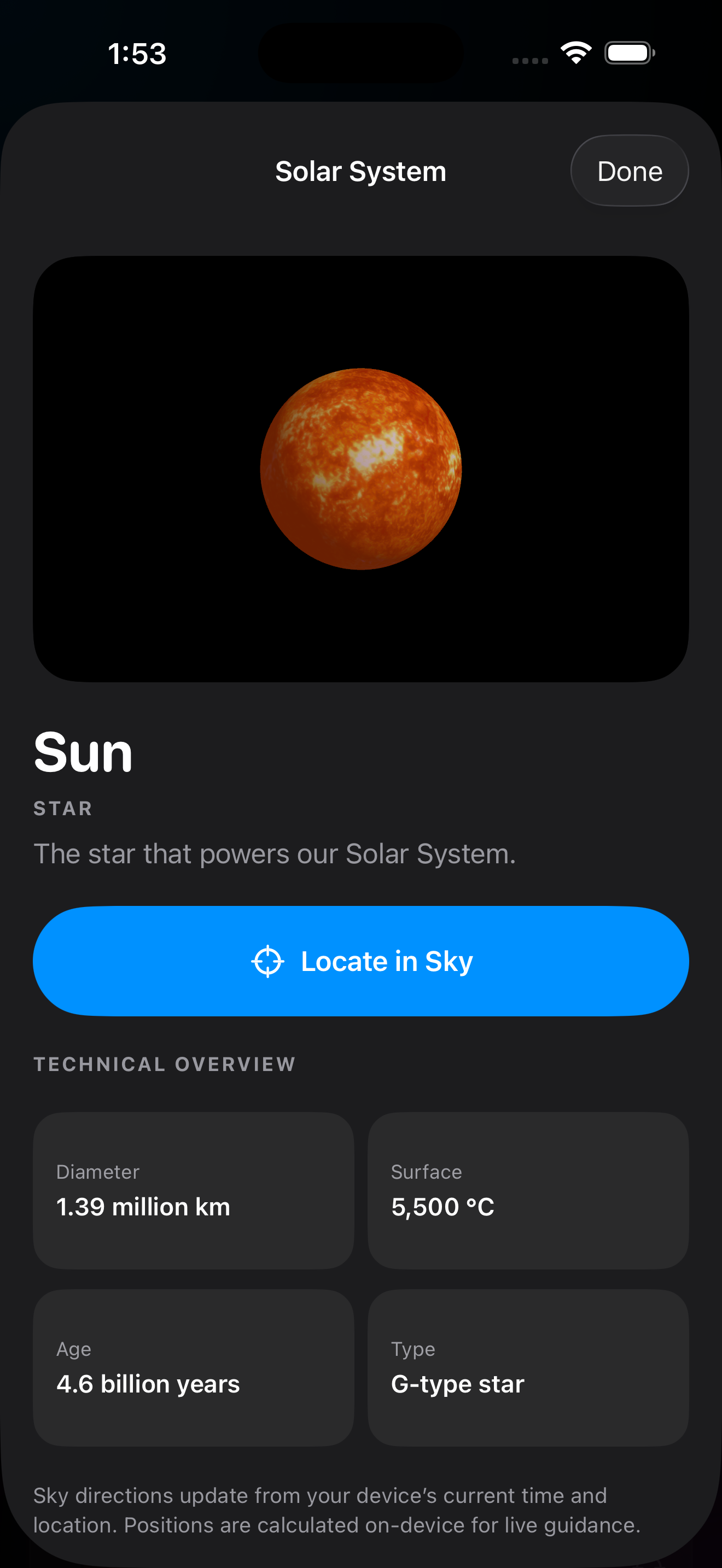
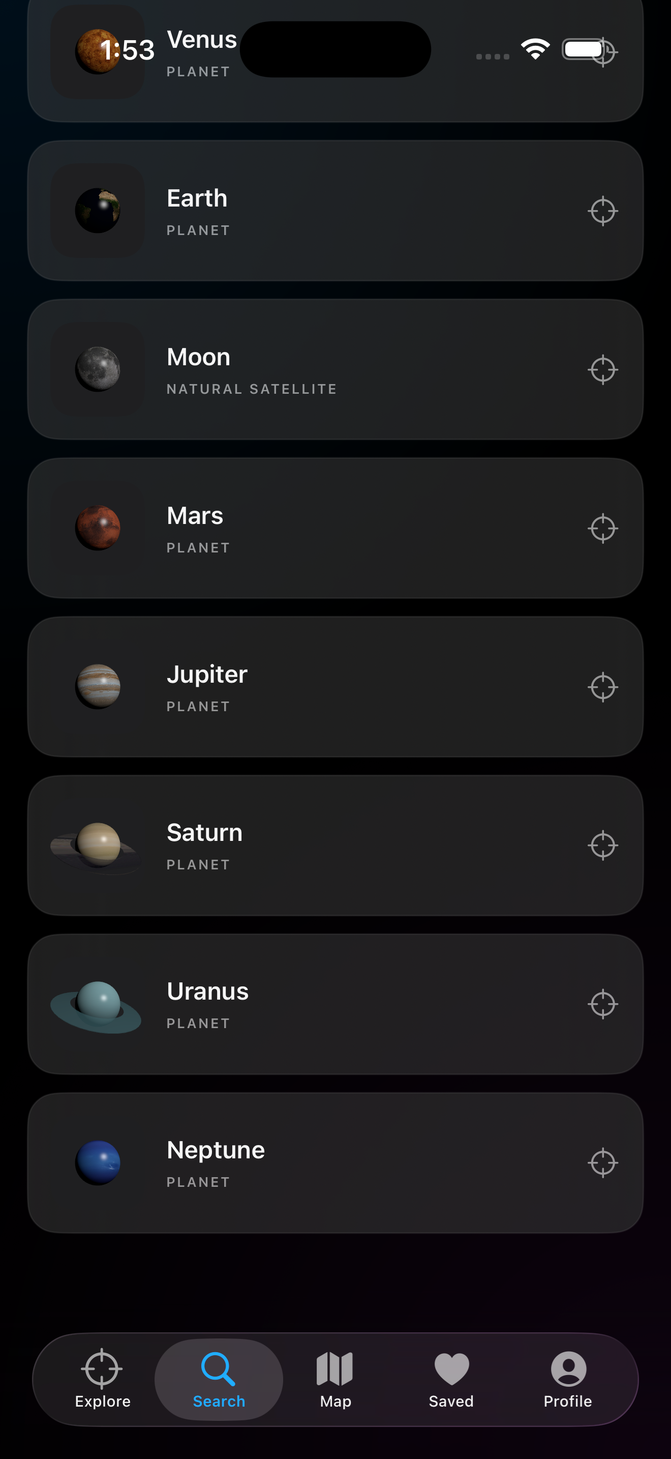
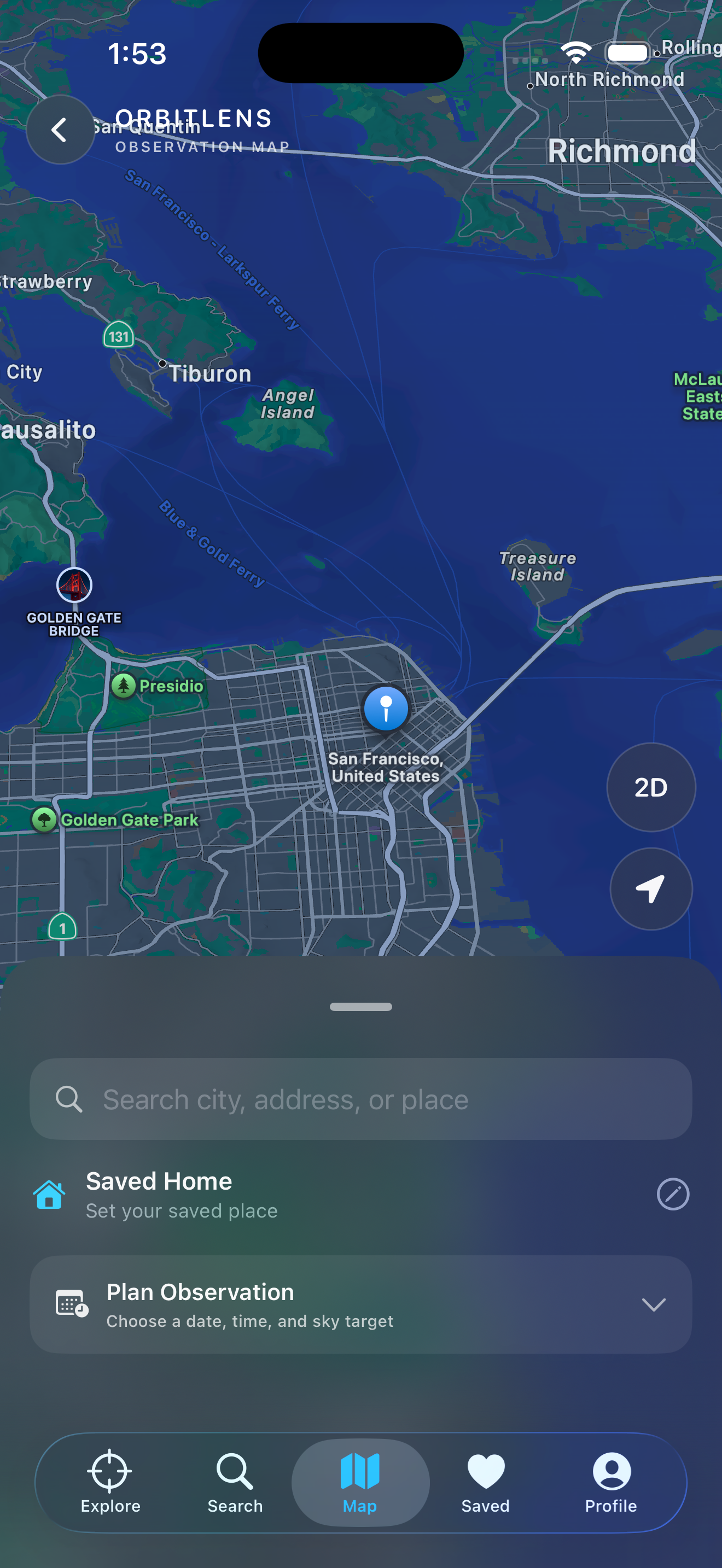
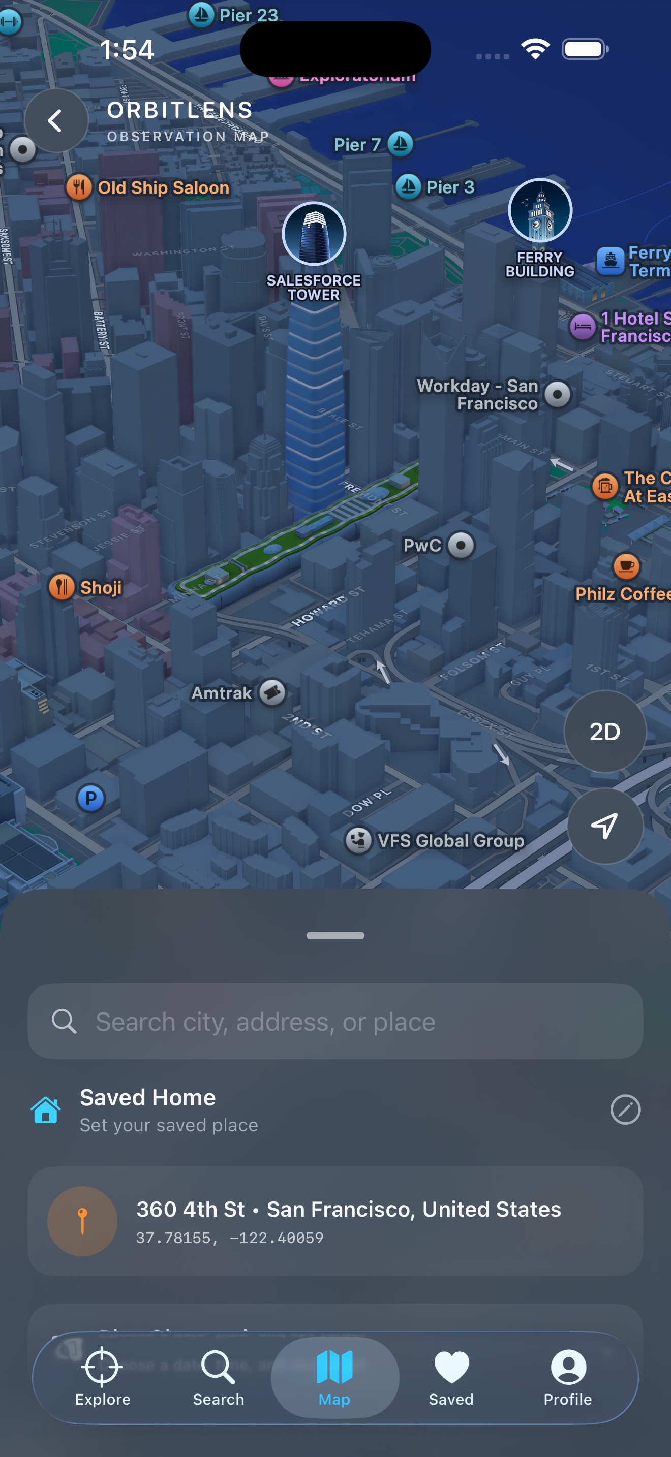
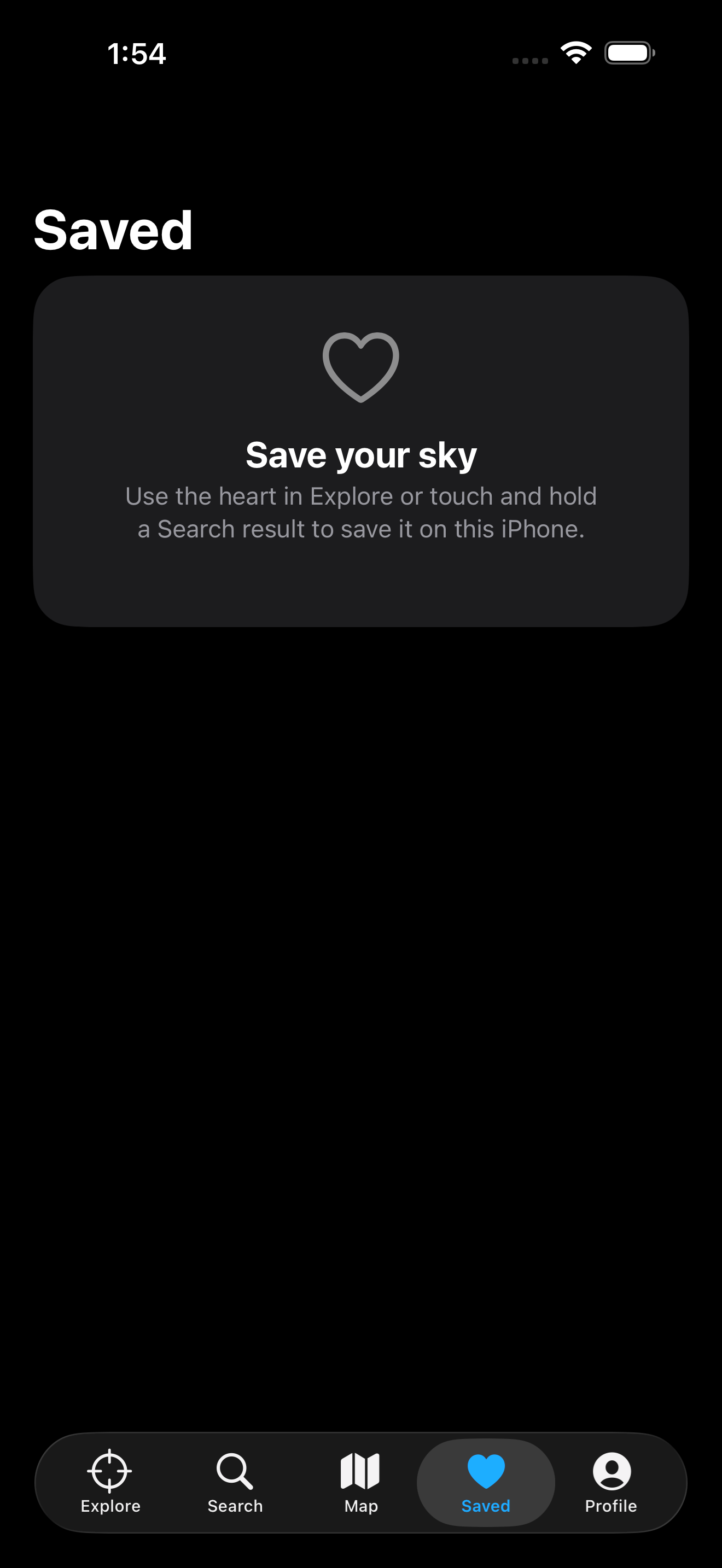
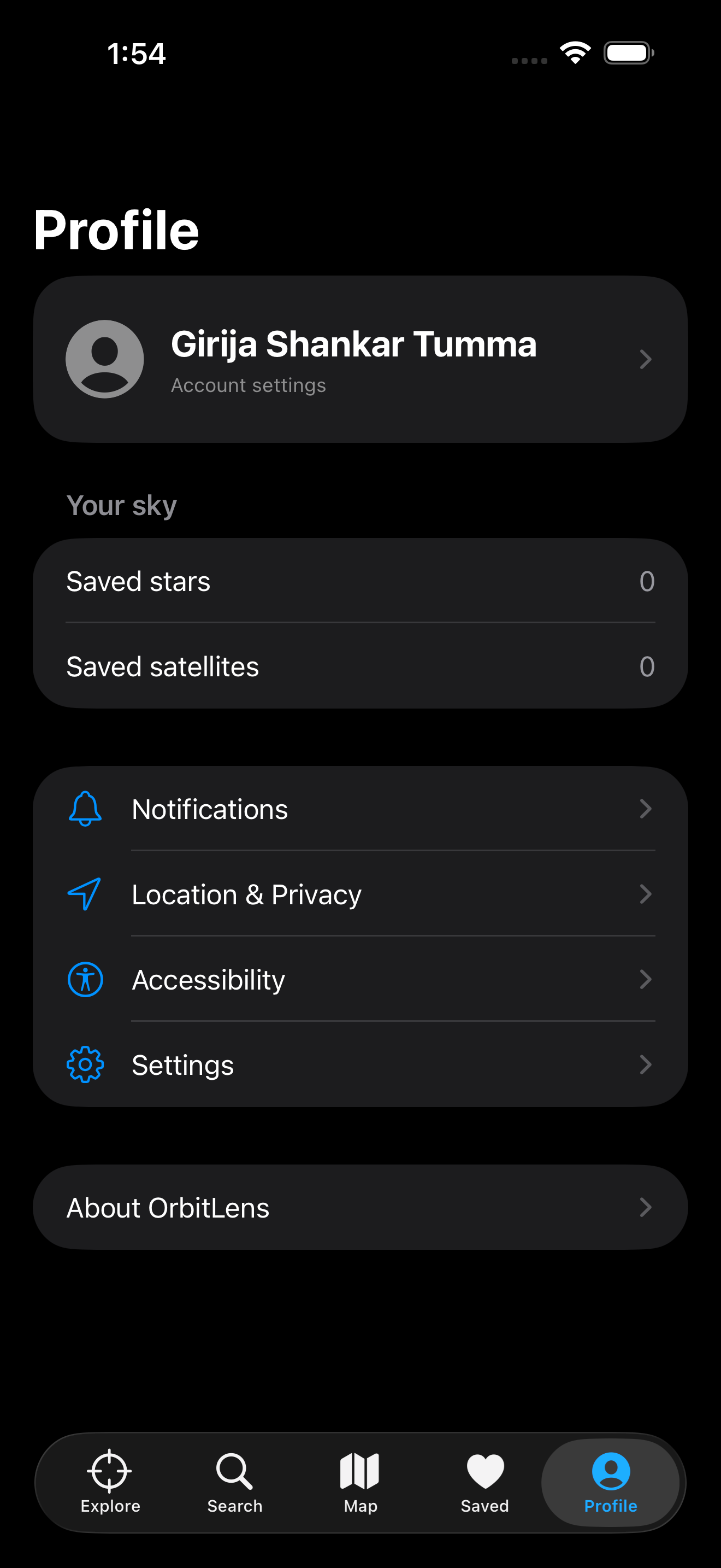
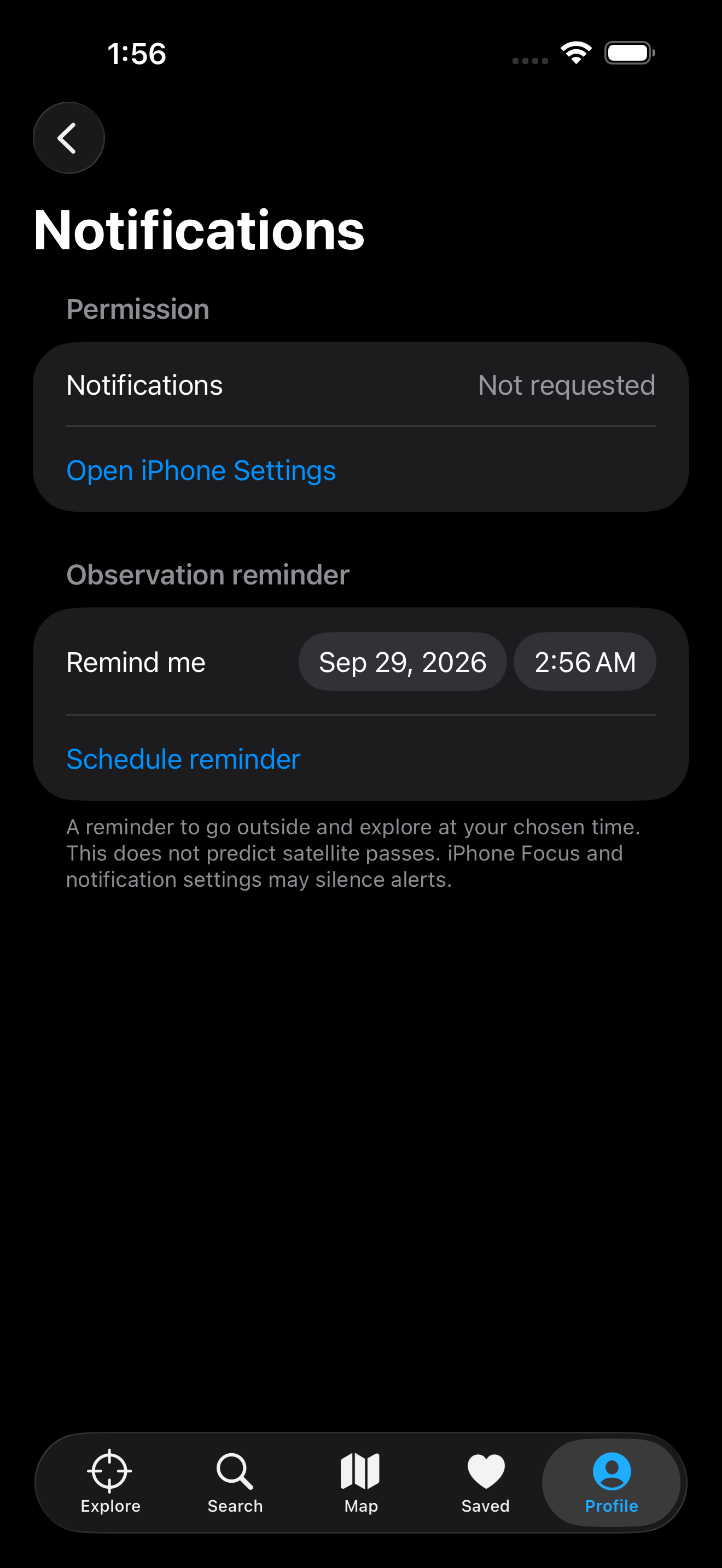
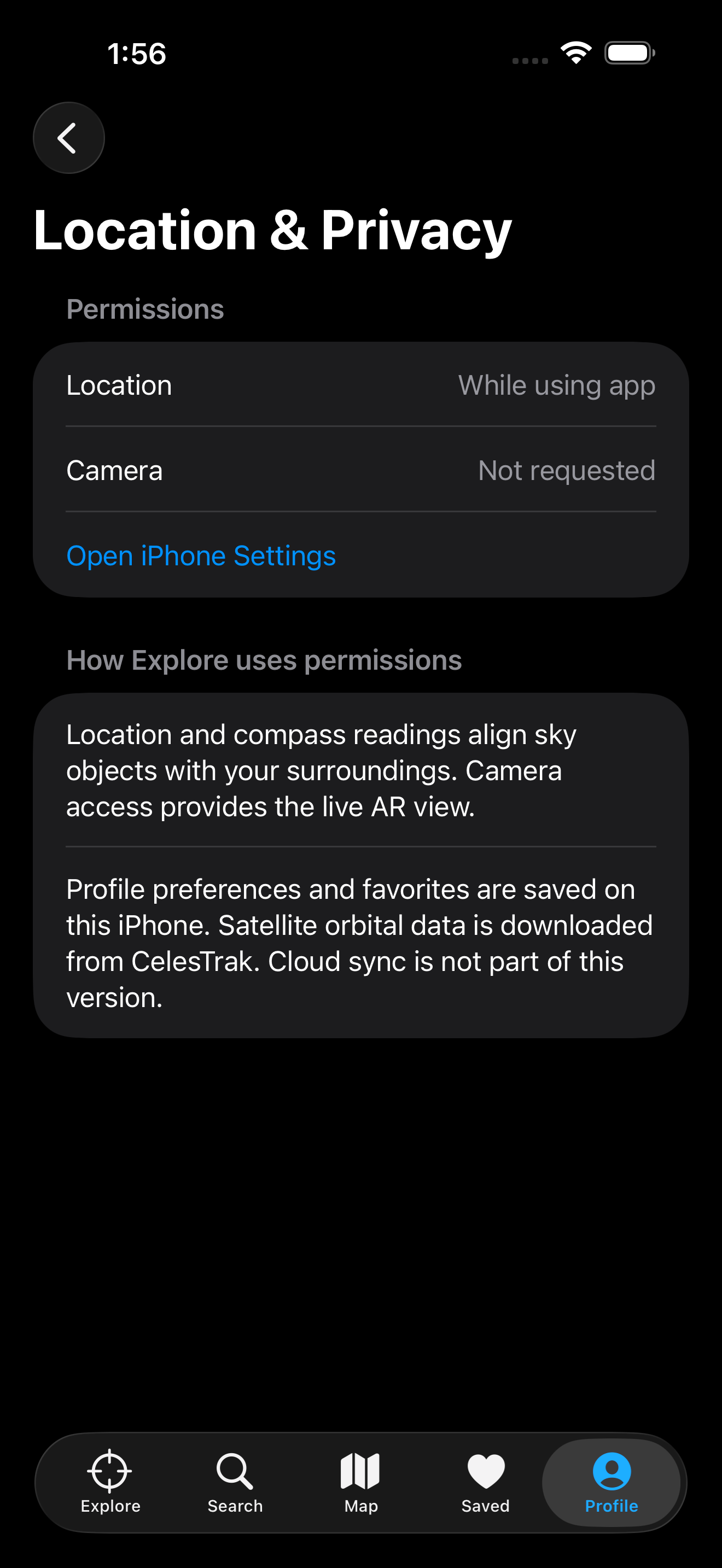
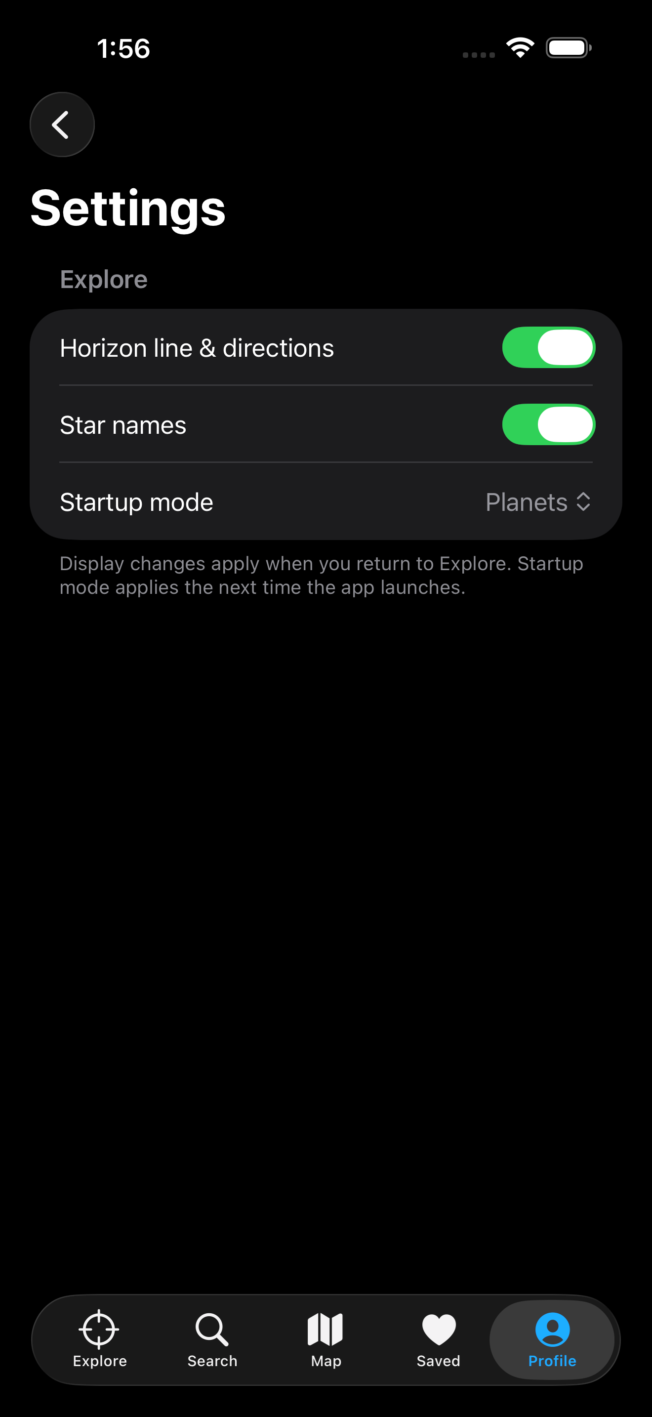
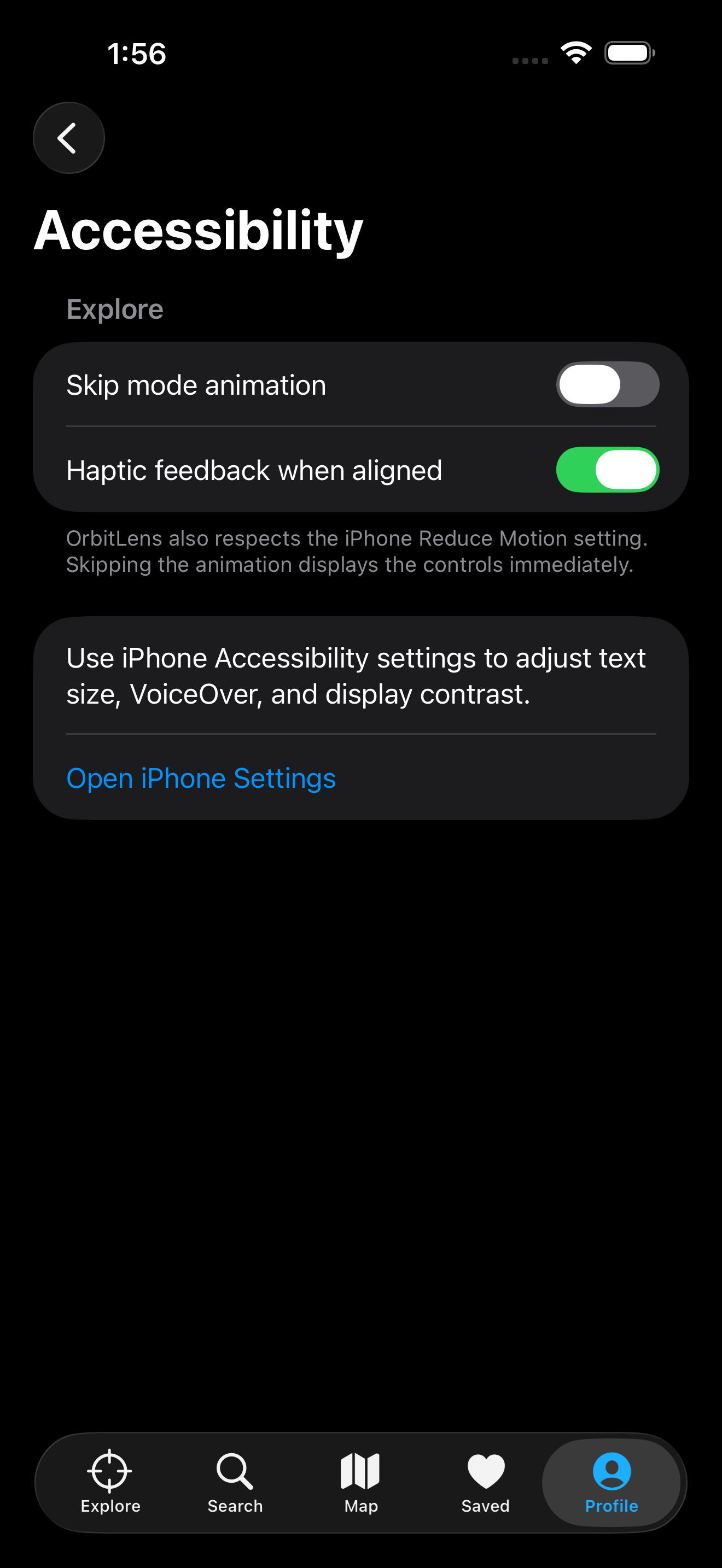
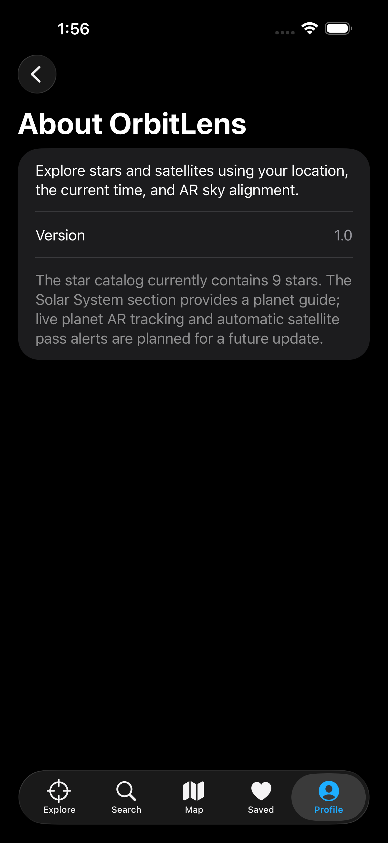
Screens from the current OrbitLens build.
3D object collection
OrbitLens presents the solar system as textured, interactive 3D objects and connects selected spacecraft to their live sky positions.
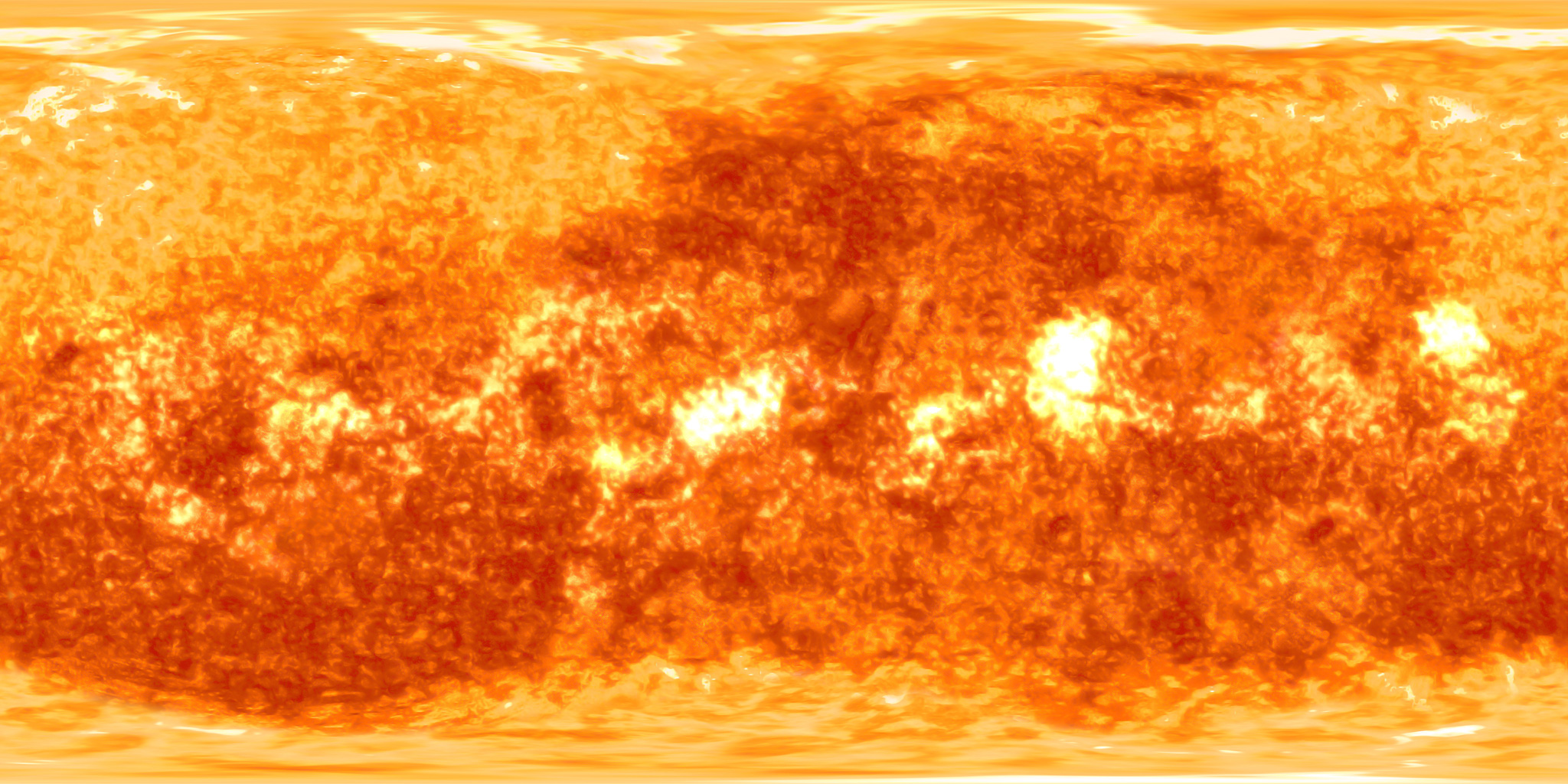 Sun
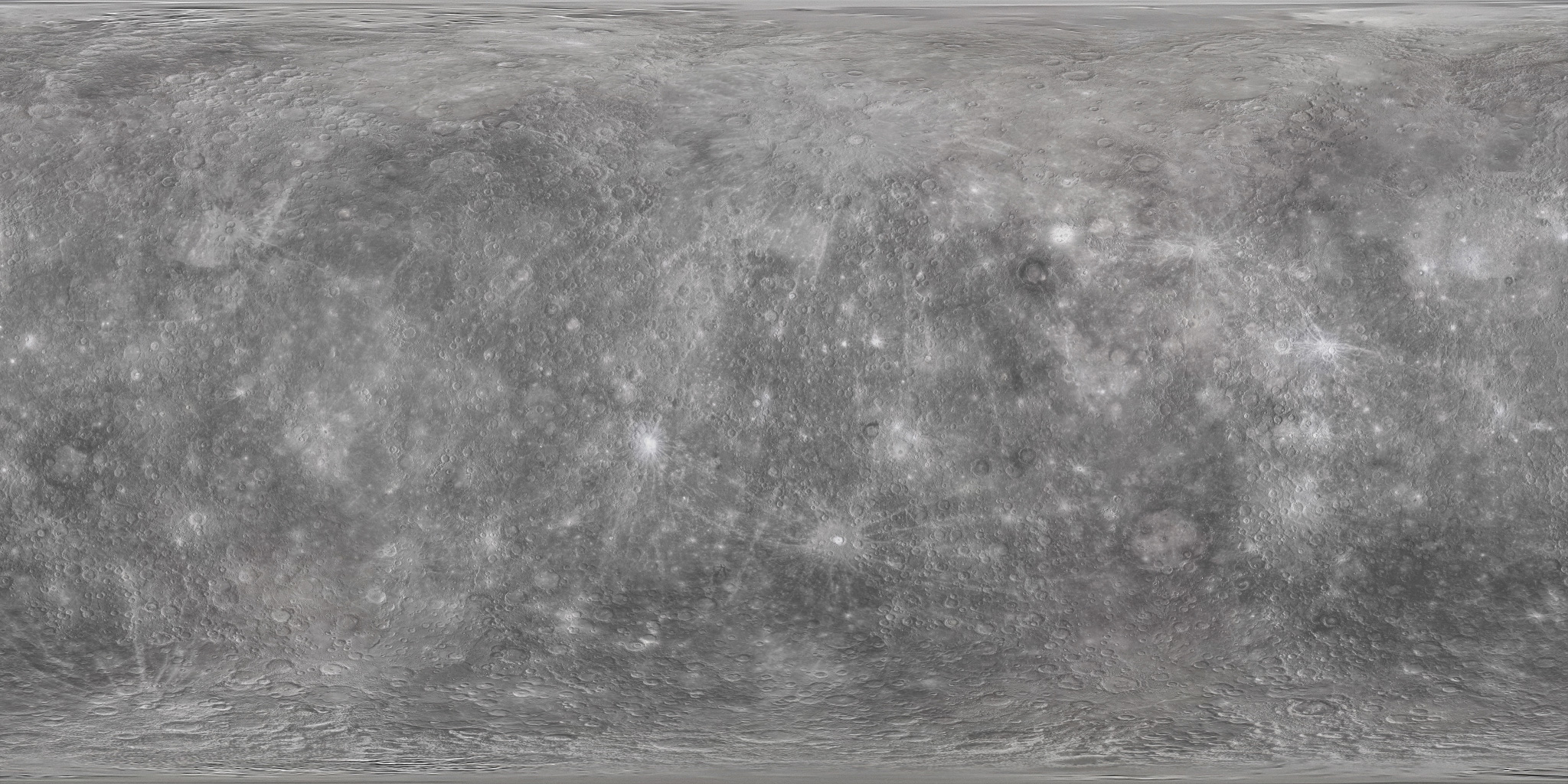 Mercury
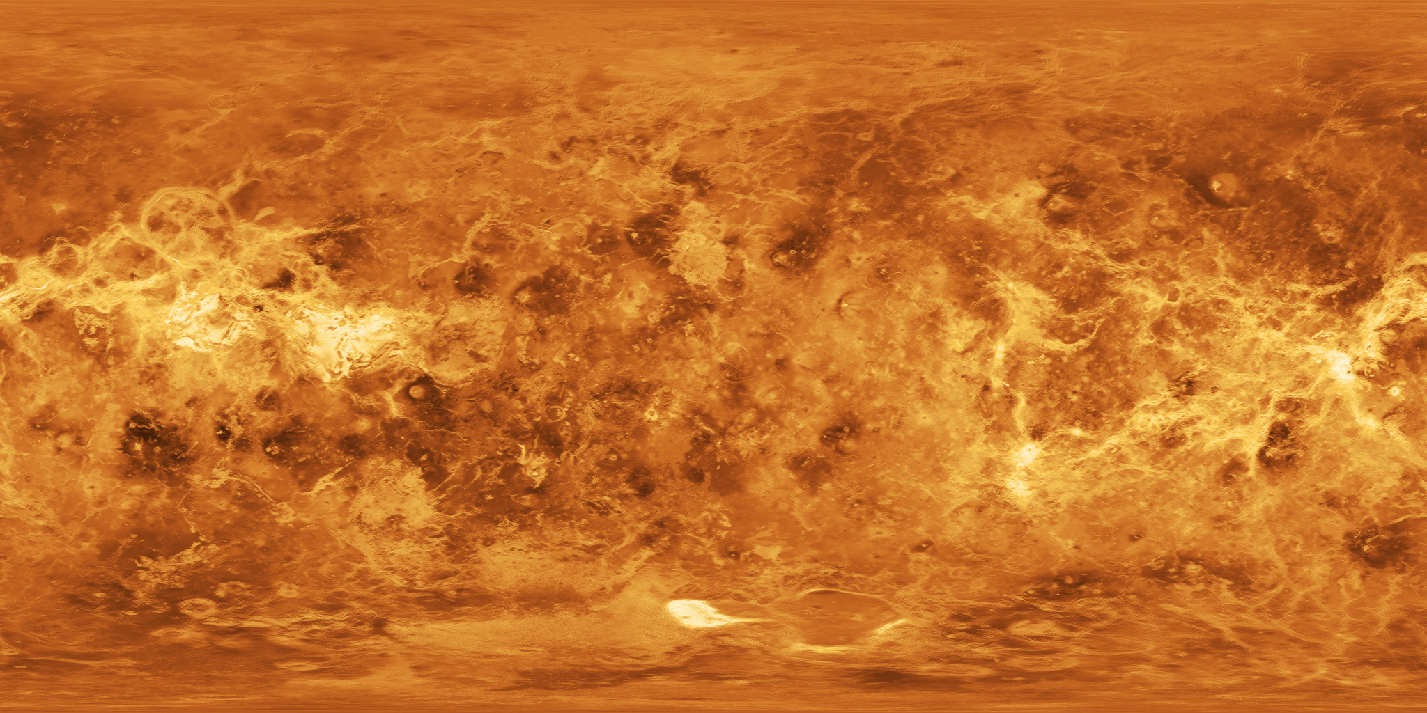 Venus
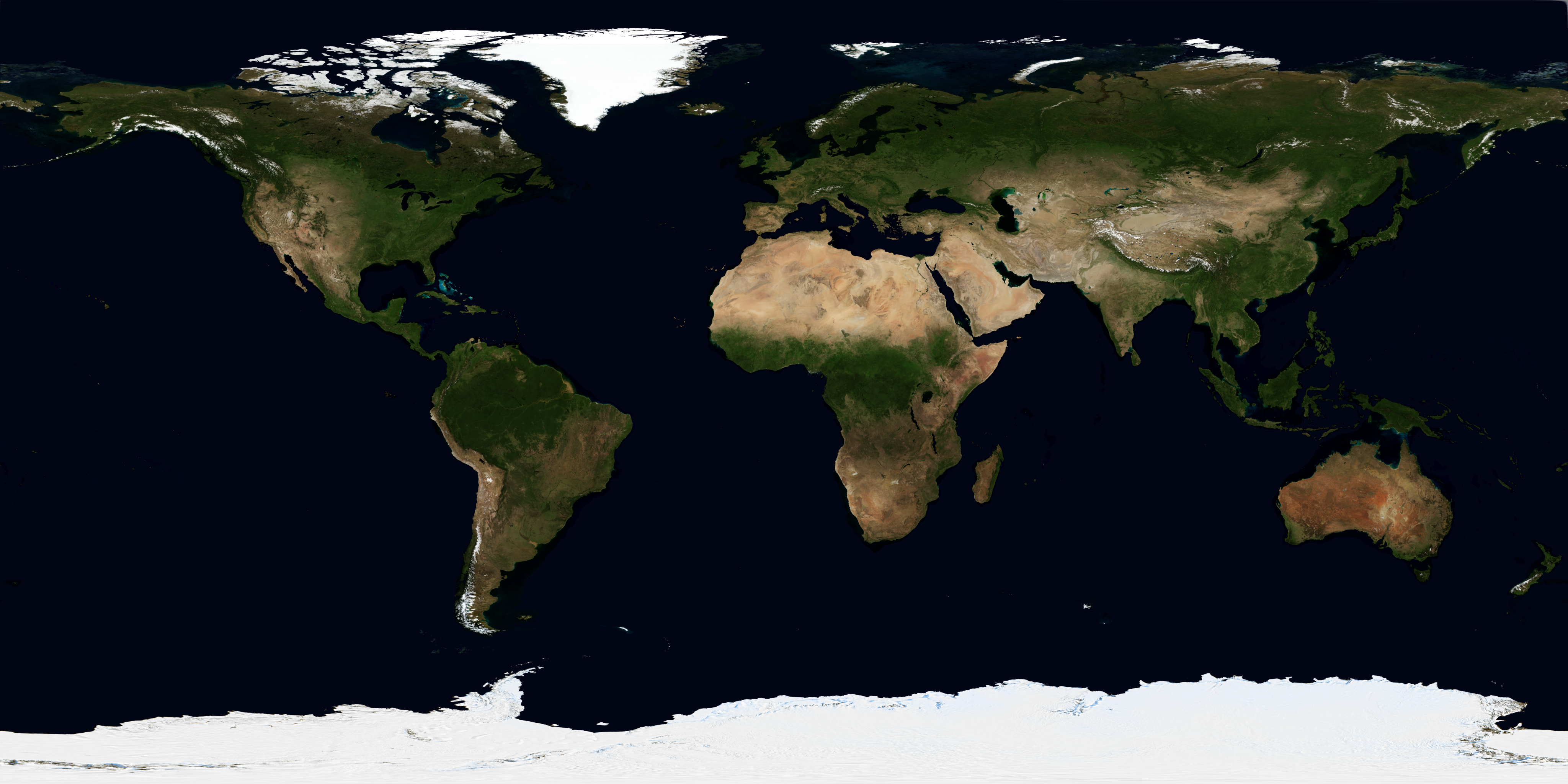 Earth
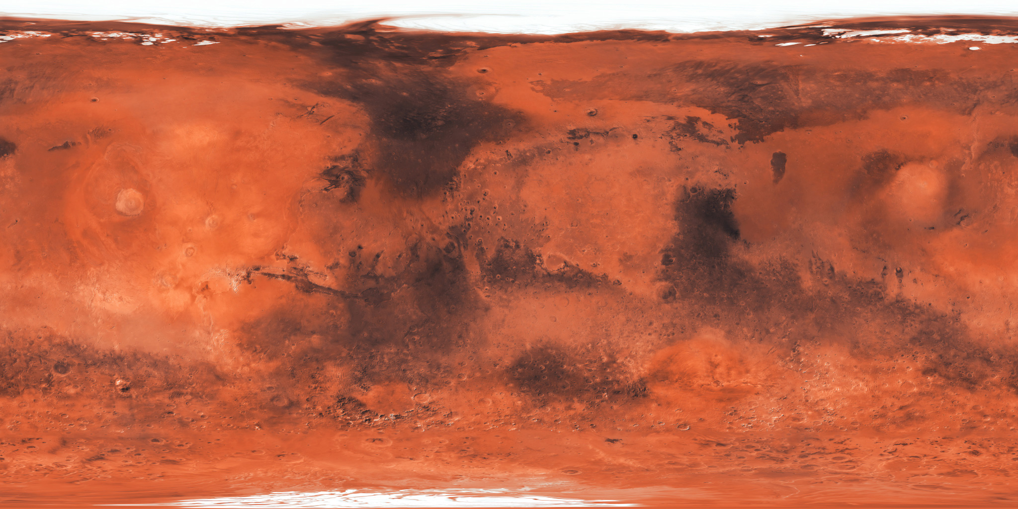 Mars
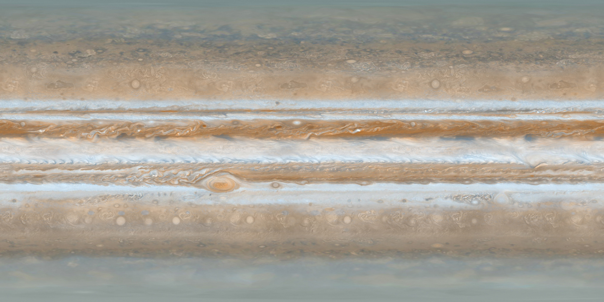 Jupiter
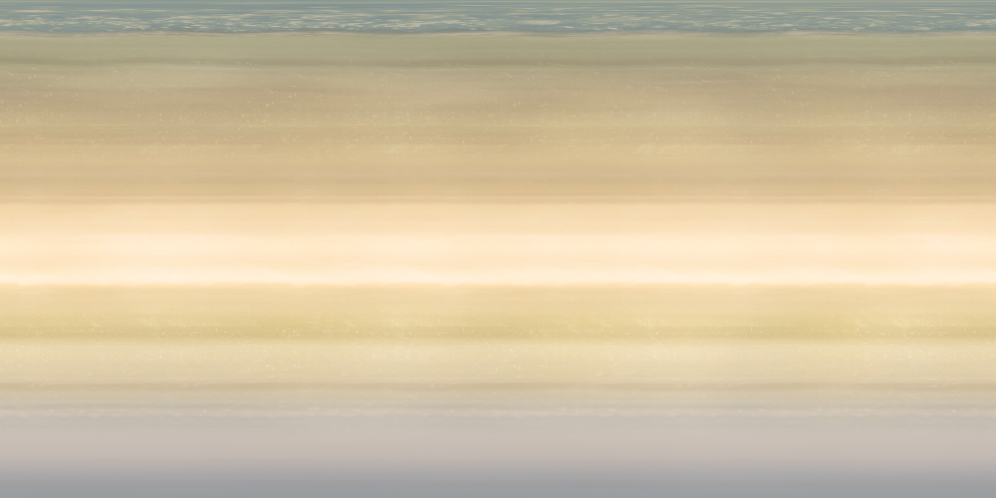 Saturn
 Uranus
 Neptune
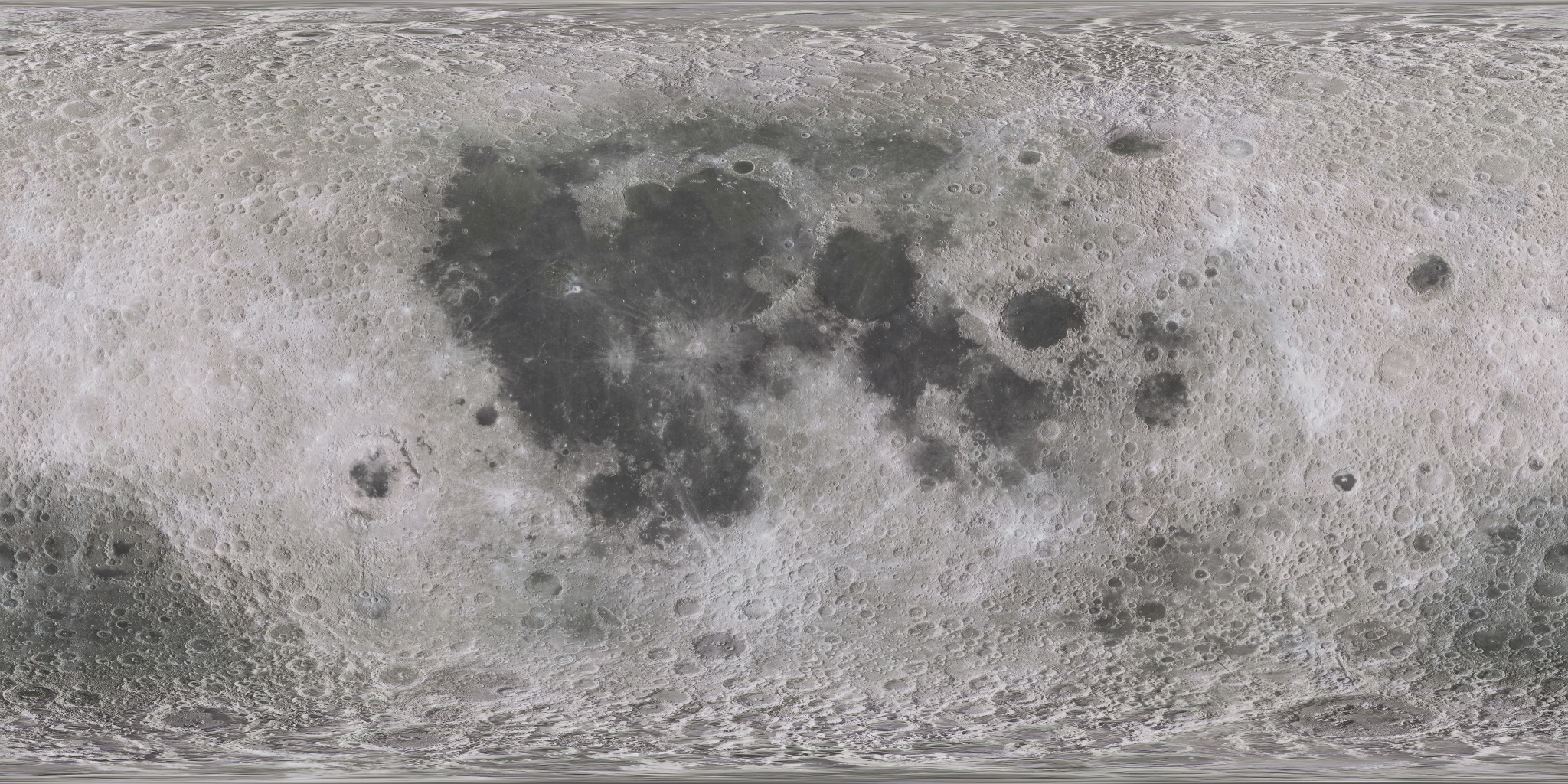 Moon
Drag an object to turn it.
Satellite tracking system
OrbitLens combines propagated orbital elements with the observer’s position to turn a satellite pass into clear, local guidance.
Loading the app-built 3D model…
Drag to inspect the model
Tracked catalog
Position pipeline: TLE epoch → ECI state vector → observer-relative azimuth, elevation, and range.
Additional tracked targets
OrbitLens platform
OrbitLens is being built as a spatial astronomy companion: it combines your device sensors, precise location, orbital mechanics, and rich 3D rendering to make the night sky understandable at the moment you look up.
ARKit, Core Location, Core Motion, and device heading align stars, planets, and spacecraft with the observer’s real horizon.
SGP4 propagation converts two-line element sets into satellite position, azimuth, elevation, range, and pass timing for a chosen place and time.
SwiftUI and SceneKit bring textured planetary models and spacecraft scenes into a responsive, touch-driven exploration experience.
Planned prediction tools will rank visible passes by brightness, altitude, duration, and local conditions, then deliver timely observation alerts.
Star catalogs, ephemerides, moon phase, weather, and light-pollution data will add context for finding the best object at the best time.
Saved locations, curated observation lists, and synchronized sessions are planned to help people prepare and share a night under the same sky.